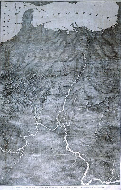
Bird's Eye View of the Course of the Mississippi, and the Seat of War in Tennessee and the Vicinity
Subject
Mississippi River, Civil War; oriented with south at top of map
Date
1862 Apr 5
Publisher
Harper's Weekly
Place of Publication
[New York]
Accession Number
1996.001.008.01
Curatorial Notes
1996 exhibition label: Although this map of the Mississippi River was made more than almost one hundred and fifty years after the previous map, it too shows the river in an unusual manner. The Gulf of Mexico and Florida appear at the top (south) of this rendition while areas normally depicted at the top are senat the bottom. Lake the Australian map of the world, this map looks "upside down" to most of us.
Exhibition History
1996 Sep - Mar 1998, So Much More than Just a Map
Media Type
newsprint
Size
13 x 9 1/8