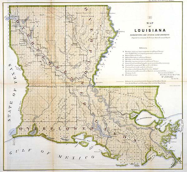
Map of Louisiana Representing the Several Land Districts Prepared to accompany the Surveyor General's annual Report

Subject
Louisiana; township and range map
Date
1855 Oct 1
Mapmaker
McCulloh, William J.
Publisher
Surveyor General's Office
Place of Publication
Donaldsonville, La
Accession Number
1992.002.002.21
Condition
very good. Nice color; slight tears along fold lines.
Market Value
1999: Murray Hudson Antiquarian Books and Maps, item #19164, $100.00
1999 Mar: Art Source International, online catalog, $75.00 for this edition
1997 Sep: Heritage Map Museum valued at $110.00
1994 Apr: Murray Hudson Antiquarian Books and Maps: $85.00
1999 Mar: Art Source International, online catalog, $75.00 for this edition
1997 Sep: Heritage Map Museum valued at $110.00
1994 Apr: Murray Hudson Antiquarian Books and Maps: $85.00
Notes
Contains notation of the "assumed extent of the Swamp and Overflowed Lands from the Gulf Coast, and Mississippi River at the Gen'l Land Office." Township and Range Map of Louisiana
Size
15 1/4 x 16
Storage
c03d02