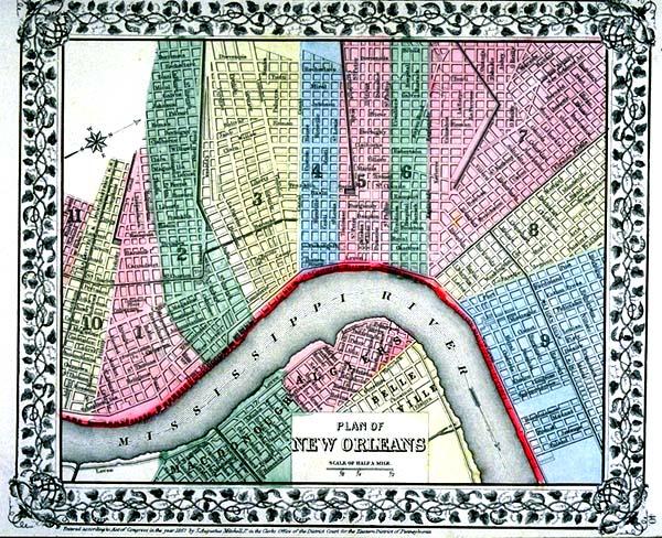
Plan of New Orleans
Subject
New Orleans; shows district boundary lines, districts 1-10, part of district 11.
Date
1867
Mapmaker
Mitchell, S[amuel] Augustus
Publisher
Mitchell, Jr., S[amuel] Augustus
Place of Publication
[Philadelphia]
Accession Number
1989.002.002
Curatorial Notes
Nicely colored. Other copies/editions located 1982.077.012, 1997.078.086.
Notes
Plate 40 from "Mitchell's New General Atlas."
Size
9 1/2 x 11 1/8