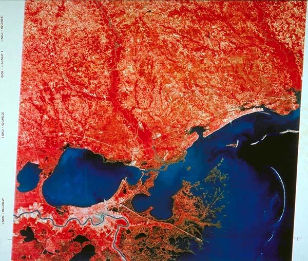
[Satellite infrared photograph of the Mississippi River from St. John the Baptist Parish to the Gulf of Mexico, Lake Maurepas, Lake Pontchartrain, and Gulf Coast to Pascagoula, Mississippi]
Subject
Mississippi River, Lake Pontchartrain, Lake Maurepas, Gulf Coast to P{ascagoula, Mississippi
Date
1980 c.
Mapmaker
National Aeronautical and Space Administration
Publisher
U. S. Dept. of the Interior, National cartographic Information Center, U. S. Geological Survey
Place of Publication
[Bay St. Louis, Mississippi]
Accession Number
1985.006.002
Alternate number
TL047.1982.2
Curatorial Notes
formerly stored c3d6
Notes
Taken from U-2 airplane at 65,000 feet.
Media Type
photograph, infrared, mounted
Size
33 3/8 x 33